Other Case Studies
The SMART partnership supports improved law enforcement and biological monitoring in protected areas around the world. They came to Refractions to build a software tool to help meet their needs.
Hectares BC – Biodiversity BC on behalf of a broad partnership
Biodiversity BC and its government and non-government partners were looking for regional-level environmental statistics. Refractions proposed a new approach to generating GIS summaries, using the power of a relational database and web tools to provide GIS analysis to users who previously had no access to it.
Automated Route Planning for Meter Reading – City of Vancouver
The City of Vancouver collects water readings from thousands of residences and businesses, but has never optimized the pedestrian routes the readers take. Refractions developed algorithms to create the most efficient routes of the correct length for readers.
Digital Road Atlas – BC Integrated Land Management Bureau
Refractions provides full-service support for the British Columbia Digital Roads Atlas – systems design, maintenance, data conflation, client service, and rapid response.
Caribou Habitat Assessment and Supply Estimator – Wildlife Infometrics Inc.
Refractions converted a legacy habitat modelling system based on ArcView 3.X to ArcGIS 9.2, and automated the workflow to provide faster turnaround time for model runs.
Line Cleaner – BC Ministry of Forests
The British Columbia Ministry of Forests needed a tool to conflate multiple roads databases into a single working layer. Refractions delivered the algorithms and a user interface based on the uDig platform.
Interest Reports – BC Ministry of Agriculture & Lands
Refractions developed an ArcMap extension to automate the calculation of standard reports joining a massive shape-file archive with a large Oracle database.
Mobile GIS – UN Food & Agriculture Organization
UN FAO needed a data collection tool that could run disconnected and didn't have a per-seat licensing cost. Refractions delivered a simple tool using the uDig desktop platform.
Open Web Services, Phase 3 – Open Geospatial Consortium
The Open Geospatial Consortium runs regular “testbed” projects to field-test new concepts in geospatial interoperability. Refractions was a part of the OWS-3 initiative, and built a uDig-based “GeoDSS” client to provide access to several other OGC standard services, including a prototype GeoVideo service.
Natural Language Spatial Search Engine for Rental Places-Rento
Rento is a free web service that makes it easy to find a place to rent in Greece. Powered by PostgreSQL and PostGIS, it provides ad listings with photographs displayed on a map. Searching is accomplished through map navigation and natural language processing, with the search engine being capable of answering complex (spatial) questions such as "flat near the University of Athens" or "loft up to 800 euros near a metro station" (in greek).
C++ Code Maintenance and Updates – Golder Associates
The Client
Golder Associates is a multi-national earth engineering and environmental science service company with 80 offices in 6 countries.
The Problem
Golder Associates had a beta version of a software program, called Crossings™, that they had begun development on for delivery to one of their clients. They then lost the services of the people writing the program and needed to complete the software for final delivery to their clients. The code they did have was undocumented and unorganized.
The Solution
Refractions Research was able to take the beta version of the program and sort through the code, documenting and organizing it thoroughly. After this was finished, Refractions Research then completed coding the program, and added all the extra functionality that was required after testing and feedback by the end-users.
The Result
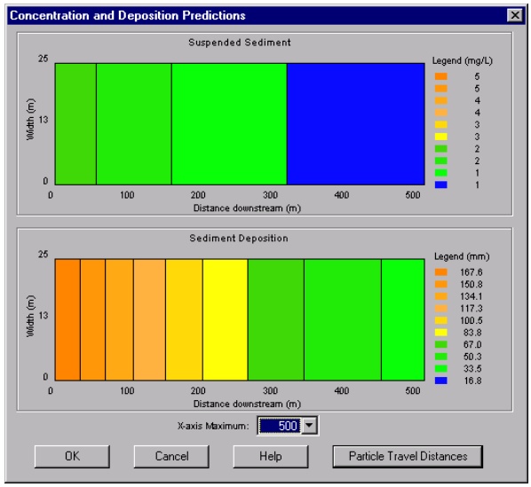
Golder Associates now has a working, fully functional version of Crossing™ that will allow their clients to simulate the environmental effects of an underground pipe-crossing on the habitat of a river which they wish to cross with a pipe-line. Users of the software program can also display and compare different types of crossing scenarios quickly and clearly to determine which is the more environmentally friendly way to go about the crossing.